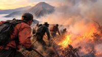

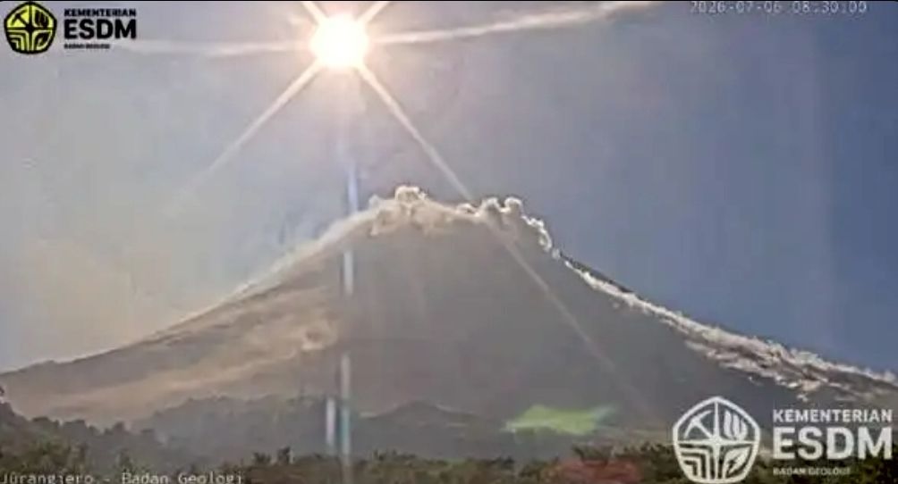
Sleman, Indonesia, en.SERU.co.id — Mount Merapi unleashed a burst of hot ash clouds early Monday morning, sending a glowing avalanche of material nearly 1.7 kilometers down its southwestern slope.
The eruption occurred at 8:28 a.m. local time (WIB), with the avalanche racing toward the upper reaches of Kali Krasak river, according to the Geological Disaster Technology Research and Development Agency (BPPTKG). The event registered a maximum amplitude of 32.92 millimeters and lasted 103.55 seconds.
Merapi’s alert status remains at Level III (Siaga), meaning communities should stay on high alert. Authorities are urging residents to steer clear of designated danger zones and any river valleys originating from the volcano, while strictly following all official safety recommendations.
Between midnight and 6 a.m., weather around the summit ranged from clear to partly cloudy, with calm northerly winds. The mountain was mostly visible, occasionally veiled by thin mist, while a white plume of smoke rose about 75 meters above the crater.
Seismic activity remained elevated, with 18 rockfall earthquakes recorded (amplitudes 2–8 mm, durations 41–162 seconds) and 21 hybrid earthquakes (amplitudes 2–24 mm, durations 24–51 seconds). Observers also noted three lava avalanches sliding up to 1,500 meters southwest along Kali Krasak and Kali Sat/Putih.
Read Also:
Ranu Regulo in Bromo Tengger Semeru National Park Reopens to Visitors Starting March 21, 2026
Hazard zones
BPPTKG highlighted the following high-risk areas:
- Southwest sector: Boyong River up to 5 km; Bedog, Krasak, and Bebeng rivers up to 7 km.
- Southeast sector: Woro River up to 3 km; Gendol River up to 5 km.
- Explosive eruption risk: Ballistic material could reach up to 3 km from the summit.
Officials noted that magma supply to the volcano continues, keeping the potential for further hot ash cloud avalanches alive within the established danger zones.
Residents and tourists are advised to remain vigilant and avoid all restricted areas around Merapi. (gts/mzm)